Amarna 3D Landscape Tests
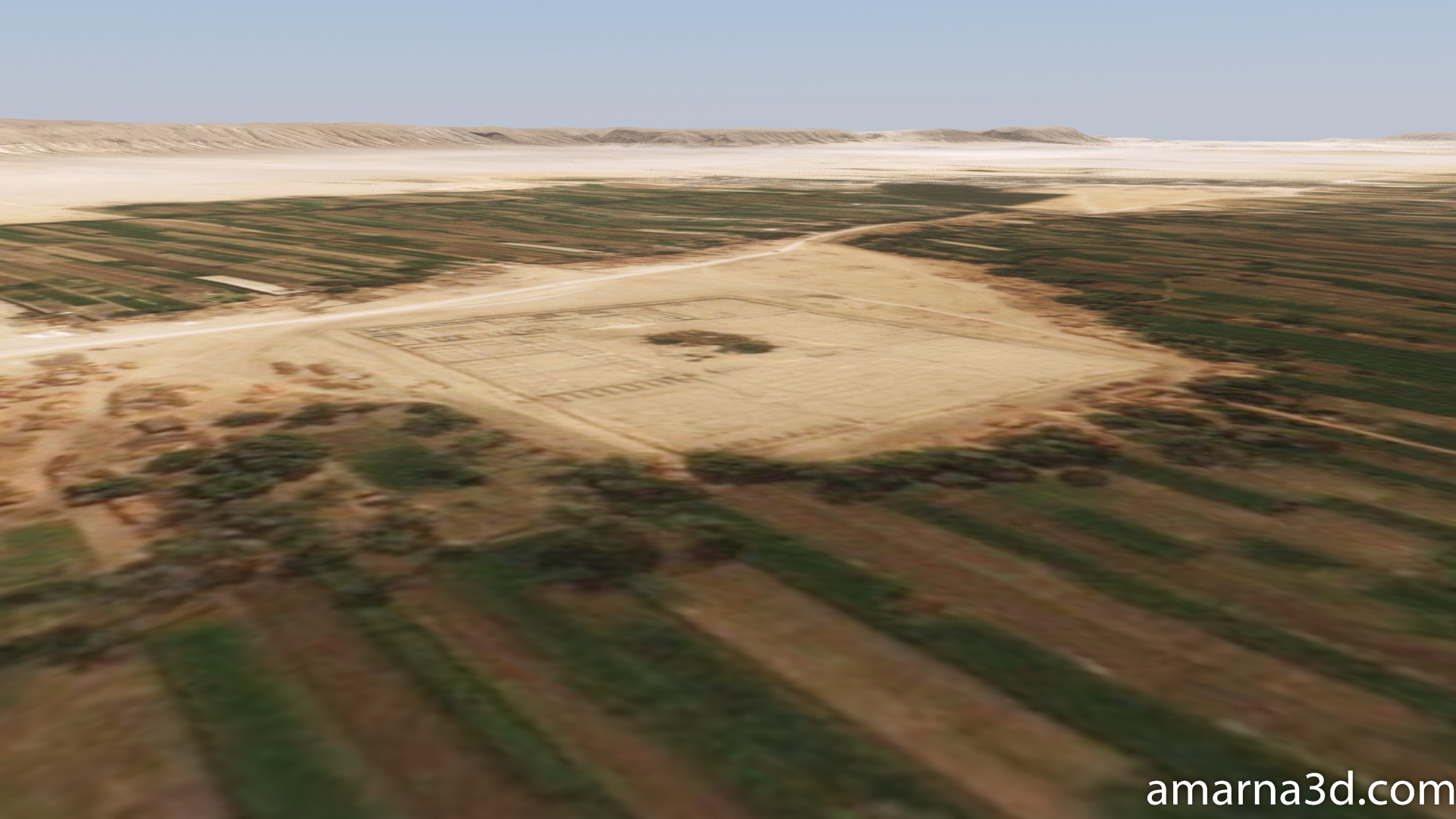
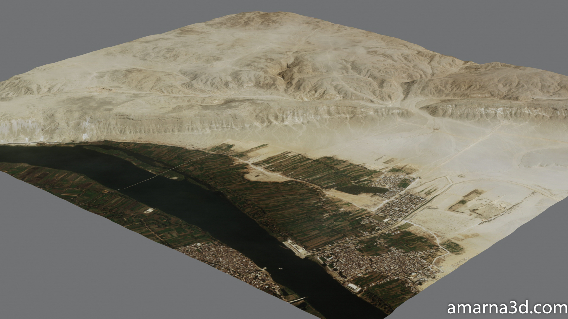
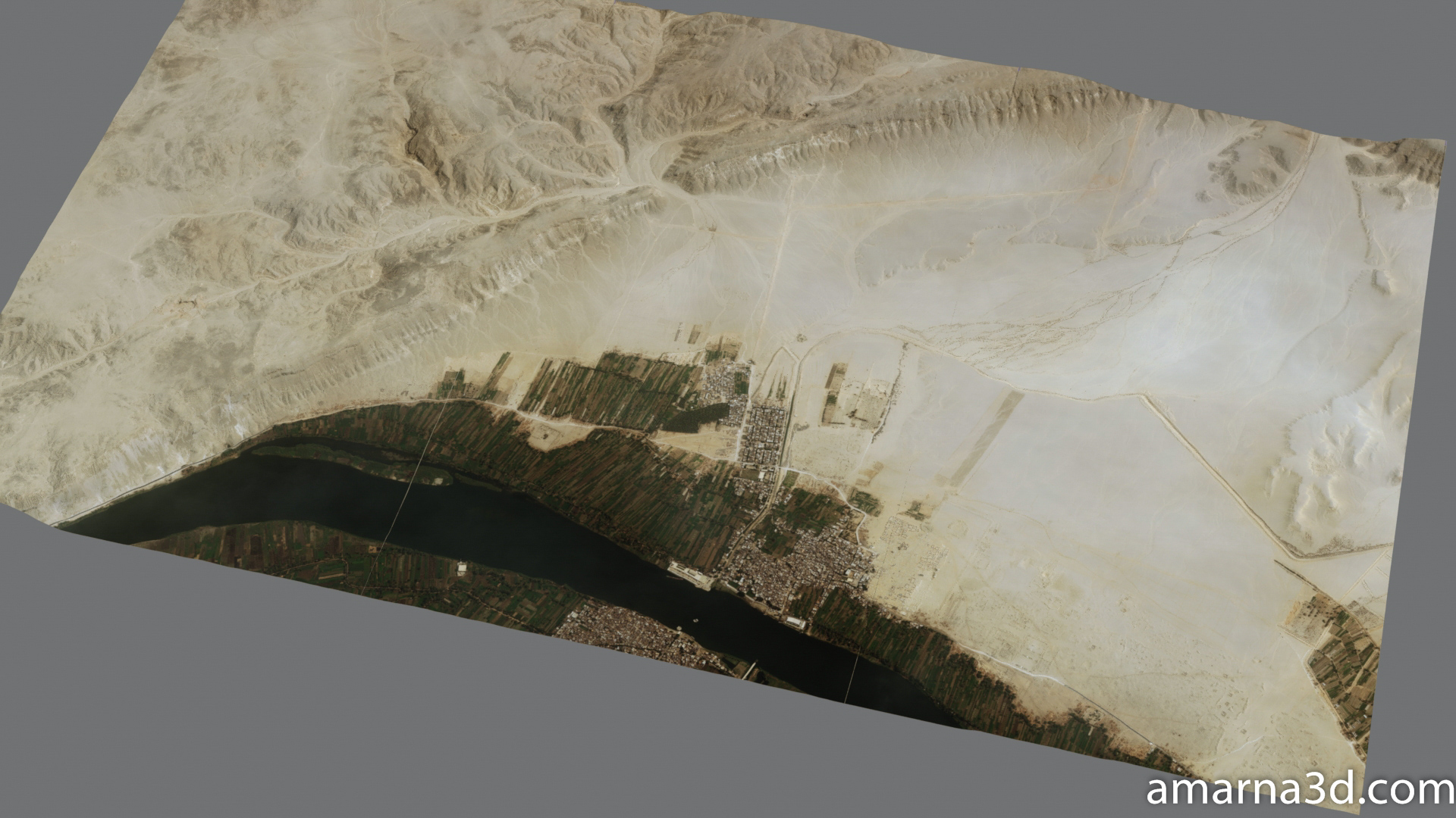
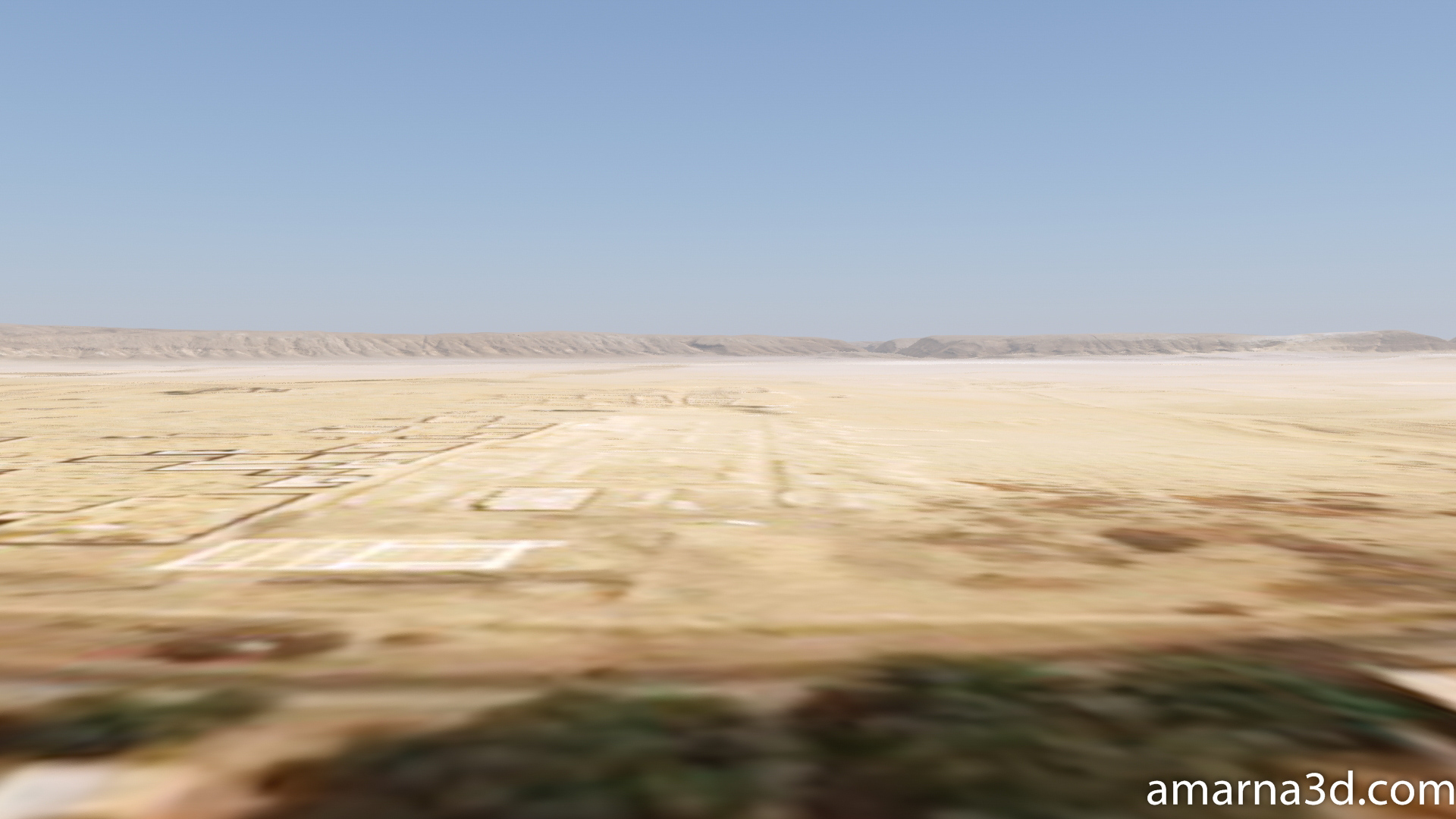
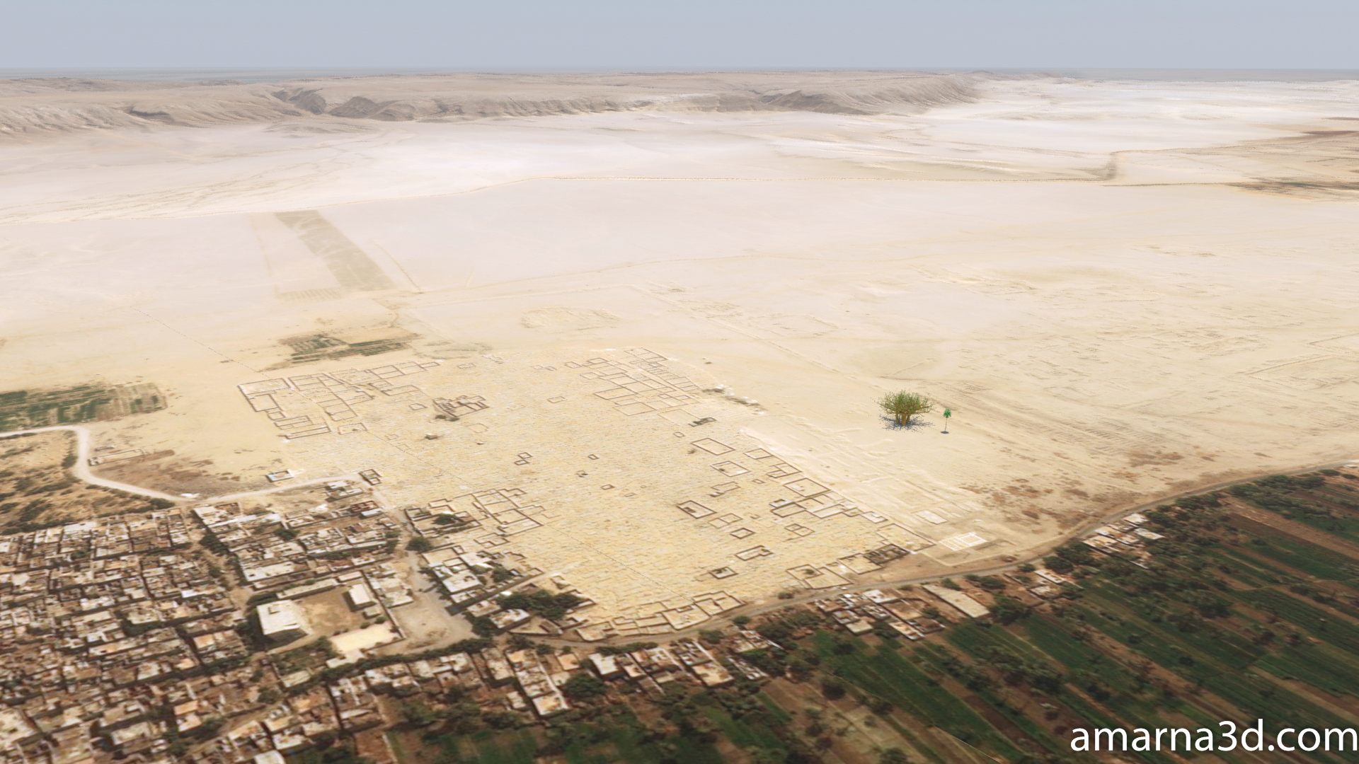
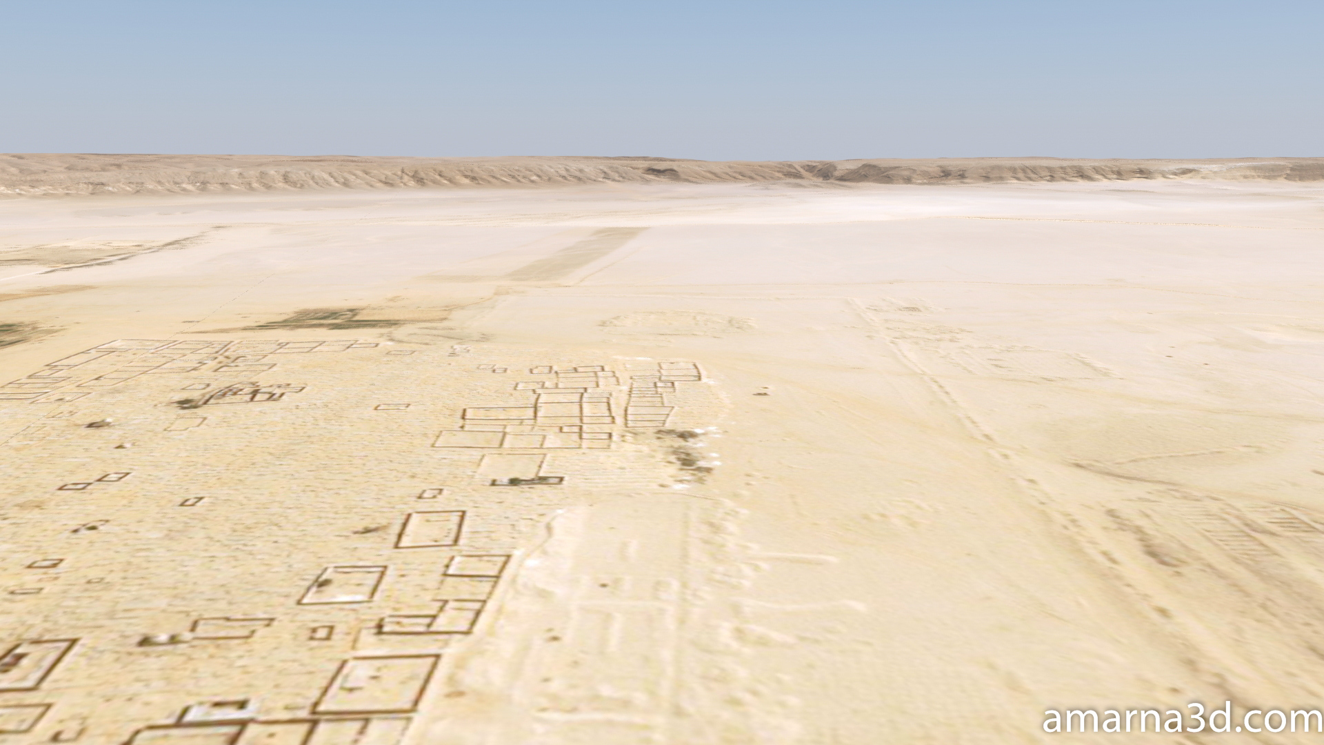
This page showcases some of the landscape construction tests. Most of this work is done using satellite imagery and Digital Elevation Model (DEM) data. I also used QGIS mapping software in preparing the work as I hope to have everything sited as accurately as possible. The vegetation placed within the scene is for testing only.

Amarna 3D Landscape Tests
Amarna 3D Landscape Tests
Amarna 3D Landscape Tests
Amarna 3D Landscape Tests

Amarna 3D Landscape Tests
Without atmospherics
Amarna 3D Landscape Tests
With atmospherics
Amarna 3D Landscape Tests